Land cover database (LCDB) and Waikato Regional Aerial Photography paired imagery for the Waikato region taken in 2017.
Description
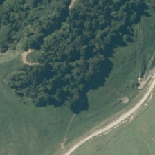
This data is available in PNG files, with the folders defining the classes (land-use) of the images. The classification folder (classification.tar) contains the image, while the segmentation folder (segmentation.tar) contains the mask of the image segmented by land use.
The classes in this dataset include:
broadleaved_indigenous_hardwood
deciduous_hardwood
exotic_forest
grose_broom
harvested_forest
herbaceous_freshwater_vege
high_producing_grassland
indigenous_forest
lake_pond
low_producing_grassland
manuka_kanuka
shortrotation_cropland
urban_build_up
urban_parkland
flaxland
permanent_snowfall
landslide
matagouri_greyshrub
estuarine
alpine_grass
sub_alpine_shrubland
mangrove
tall_tussock_grassland
river_stream
transport_infrastructure
gravel_rock
mixed_exotic_shrubland
surface_mine
herbaceous_saline_vege
sand_gravel
orchard_vineyard
depleted_grassland
fernland
Data
classification.tar (1.1GB)
segmentation.tar (1.0GB)
License
This data is made available under CC-BY-4.0.